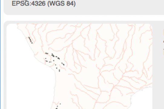
In Winter 2018 I received a Digital Humanities Summer Institute (DHSI) tuition grant to attend a mapping workshop and a Metadata 2.0 (UCHRI) grant to take part in another workshop on developing data for digital projects. Both of these grants are helping me get my footing in digital humanities. The grants have contributed to a mapping project I am working on that corresponds to my research on pre-colonial and colonial Andean visualizations of boundary and territory. I am interested in how mapping tools and visualizations may help frame my research questions differently or bring forward new questions related to how landscape and territory were conceived in certain contexts. More specifically, mapping tools can help me interpret and pose questions about ideologies of landscape and land use and may complement my research on how aspects of Andean visual culture—such as Indigenous textiles—refer to and visualize the land.
July 5, 2018
News about:


